Read Part 1, The Postcard Places and Part 2, The Local Favorites.
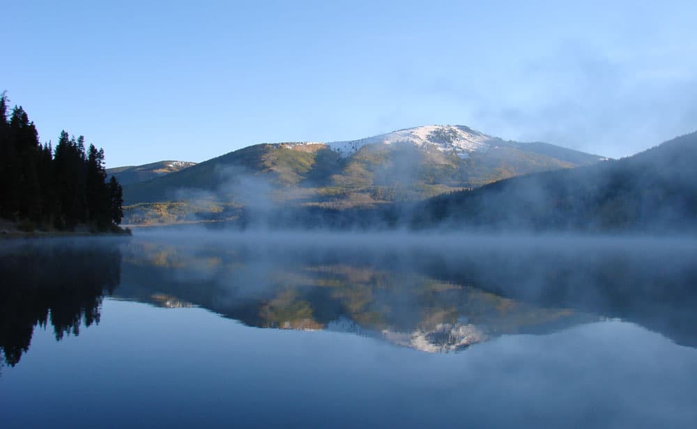
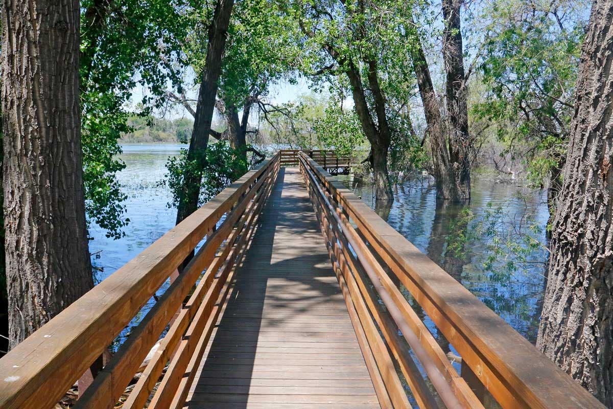
67. Pearl Lake State Park (pictured above)
The Scene: Pearl Lake State Park a serene setting for low-impact outdoor adventure. Camping amid the trees along the water’s edge grants access to peaceful early-morning canoe rides, fly- and lure- cutthroat trout fishing and gentle hikes. In the cool morning air, a light fog hovers over the still waters. Nearby Towns: Steamboat Springs, Hayden, Craig, Walden, Kremmling
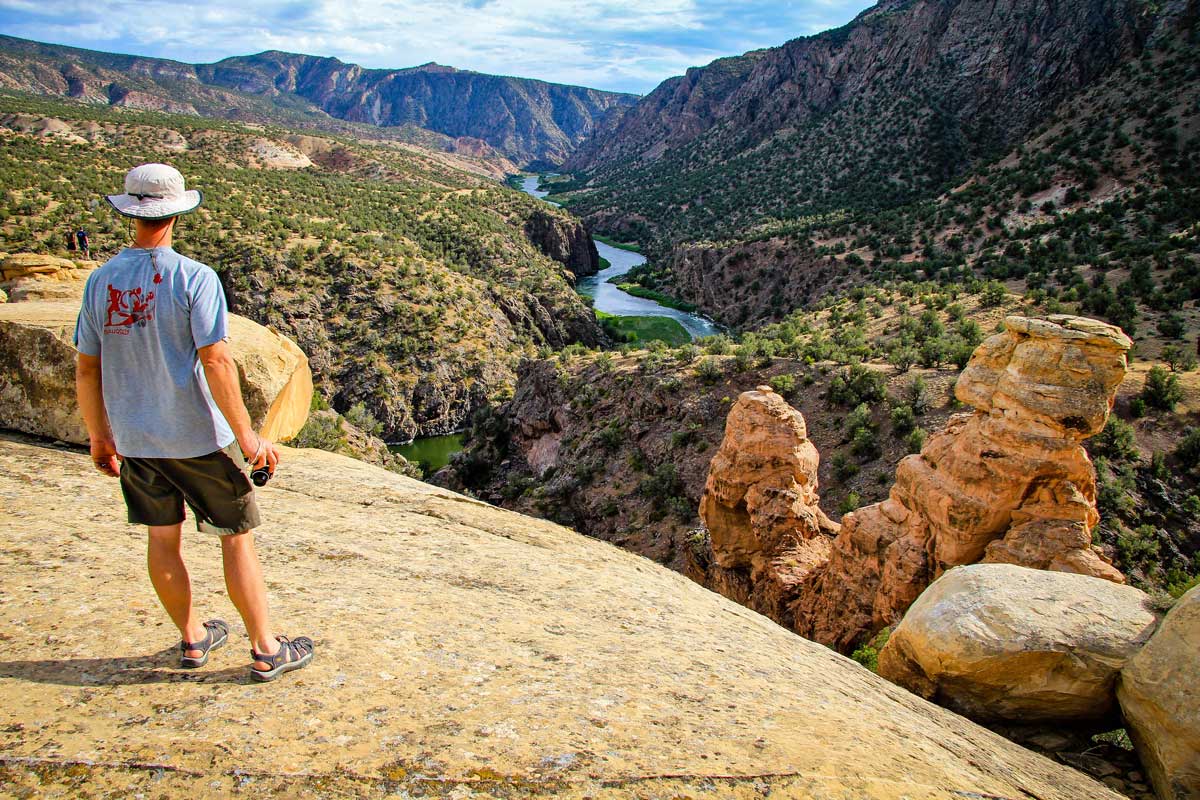
68. Wheeler Geologic Area
The Scene: The area’s frozen-in-time sandstone spires inside the Rio Grande National Forest were formed by volcanic explosions millions of years ago. They resemble coral beds found on ocean floors, which this far from the sea, gives them an otherworldly mystique. Nearby Town: Creede
69. Blue Lake, Rawah Wilderness Area
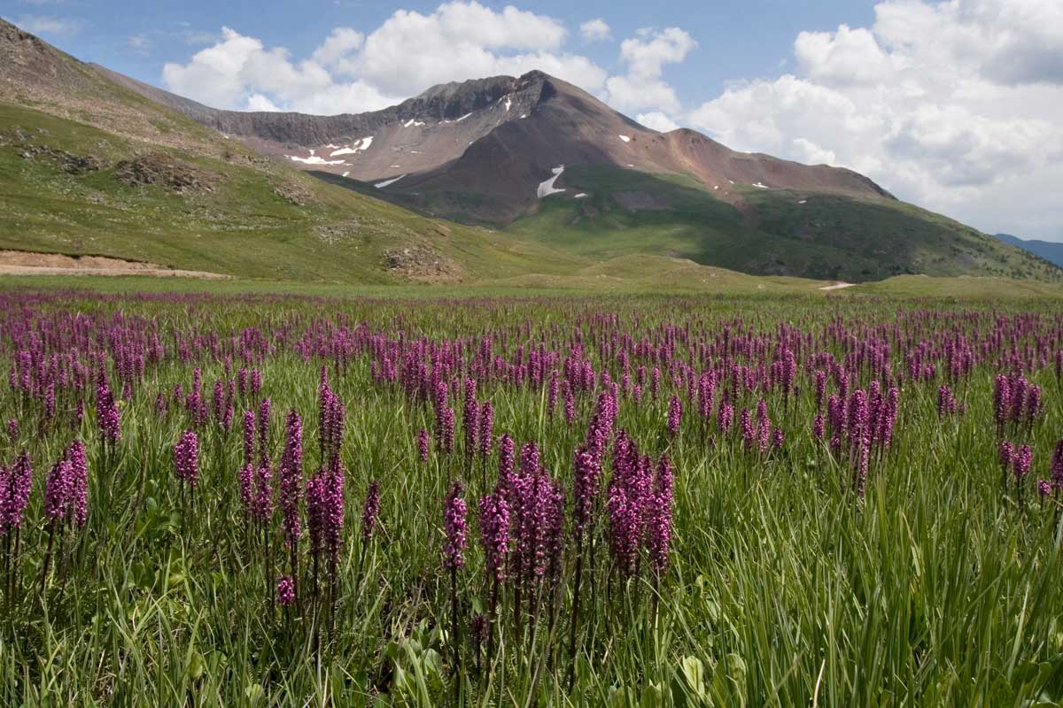
The Scene: The shady trek to Blue Lake is one of the Front Range’s most diverse wildflower hikes. More than 90 varieties — including white bog orchids, scarlet paintbrush, monkshood and glacier lilies — have been spotted along the impossibly colorful trail. Nearby Town: Fort Collins
70. Last Dollar Road
The Scene: This winding, one-lane dirt road leaves the pavement at the Dallas Divide and careens around the Mount Sneffles Wilderness before dropping into the San Miguel River valley, where lush ranchland, aspen groves alive with color, and spruce and pine forests make it a scene from a landscape painter’s dream. Nearby Towns: Ridgway, Telluride, Ouray
71. Conejos River Valley
The Scene: This valley is one of Colorado’s best-kept secrets for fall-color viewing. Some of the oldest and tallest aspens in the state can be seen near La Manga Pass. On the Cumbres & Toltec Scenic Railroad, riders can see parts of the area auto-travelers miss. Nearby Town: Antonito
72. Star Dune, Great Sand Dunes National Park and Preserve
The Scene: Scaling the tallest sand dune in North America (roughly 750 feet high) is a calf-burning endeavor. Because it’s not quite as accessible as the dunes in the park’s main dune field, the tracks to its undulating apex are fewer and farther between. Nearby Towns: Alamosa, Mosca
73. Lost Creek Wilderness
The Scene: Lost Creek’s red-rock formations aren’t as dramatic as those at better-known spots like Garden of the Gods and Red Rocks Park, but there are a whole lot more of them. Many of the area’s domes, knobs, spires and buttresses have eroded in such a way that creeks seem to disappear between their hidden crevices — hence the name. Nearby Towns: Deckers, Bailey, Grant
74. Blackface Mountain
The Scene: Atop this moderately difficult hike, the panoramic view that awaits is a curious collection of unusually shaped mountains named for their shape and color: Lizard Head, Pilot Knob, Golden Horn and Vermillion Peak. Nearby Towns: Telluride, Rico
75. Sangre de Cristo Wilderness
The Scene: It would be a shame to visit this area and not stay for the majestically colorful scene created by the setting sun. Colorado’s early Spanish explorers were so inspired by the way the peaks turned a vibrant, crimson color as the sun went down, they named them the “Blood of Christ” mountains. Nearby Towns: Salida, Poncha Springs, Alamosa, Westcliffe
76. Handies Peak
The Scene: Handies doesn’t gain much fame being the 40th tallest of Colorado’s 58 fourteeners. That it’s one of the easiest to climb is what puts its name on the lips of many mountaineers. Its (relatively) short, five-and-a-half-mile round-trip trek is why many choose it as their first to conquer. Nearby Towns: Lake City, Ouray, Silverton
77. Devil’s Causeway
The Scene: Colorado’s version of the Great Wall of China (though this one is nature made) is a narrow rock ridge that runs through the Flat Tops Wilderness. In some places, the trail slims down to only three feet wide and calling its dropoffs sheer is being generous. Nearby Towns: Yampa, Gypsum
78. Barr Lake State Park
The Scene: In the northeast reaches of Denver sits an area that has been drawing birds like a magnet for decades. Wildlife-viewing records from the area’s three habitats — open water, shoreline woodlands and grassland — date back more than 100 years, and the number of recorded species exceeds 300. Nearby Towns: Denver, Brighton
79. Kenosha Pass
The Scene: Known as one of the Colorado Trail’s easiest access points, the 10,000-foot-high pass is also a favorite for those hunting fall color. Aspen stands and views into the sprawling, green South Park Valley make it ideal for off-the-beaten-path photographers. Nearby Towns: Grant, South Park, Fairplay, Bailey
80. Old Monarch Pass
The Scene: Those who frequently traverse Monarch Pass along the Continental Divide between Gunnison and Salida probably don’t even notice the sign for Old Monarch Pass Road. Snowshoers and cross-country skiers like to keep it that way. The once-popular route, which was replaced by the shorter Hwy. 50, is now one of the best spots for traipsing through Colorado powder. Nearby Towns: Salida, Poncha Springs, Gunnison
81. Comanche National Grassland
The Scene: Defined by surging tides of land that look like a green-and-brown ocean frozen in mid-torrent, this is some of the country’s last remaining shortgrass prairie. A number of animals also call this grassy area of Colorado home. Keep an eye out for pronghorn, hawks and pheasants. Nearby Towns: Springfield, La Junta
82. Wetherill Mesa, Mesa Verde National Park
Note: Wetherill Mesa is closed for construction through 2024.
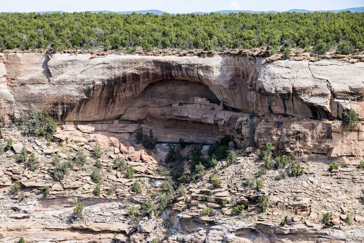
The Scene: Lower-profile than Mesa Verde’s famed Cliff Palace, Wetherill Mesa is home to the park’s second-largest Ancestral Puebloan cliff dwelling. A climb behind the Long House dwelling offers a rare look at a seep spring — a source of water emerging from the cliff that was used by its ancient residents. Nearby Towns: Mancos, Cortez, Durango
